Due to the COVID-19 pandemic the Irish government has introduced restrictions on unnecessary travel which means that people may only exercise within 2 kilometers of their homes.
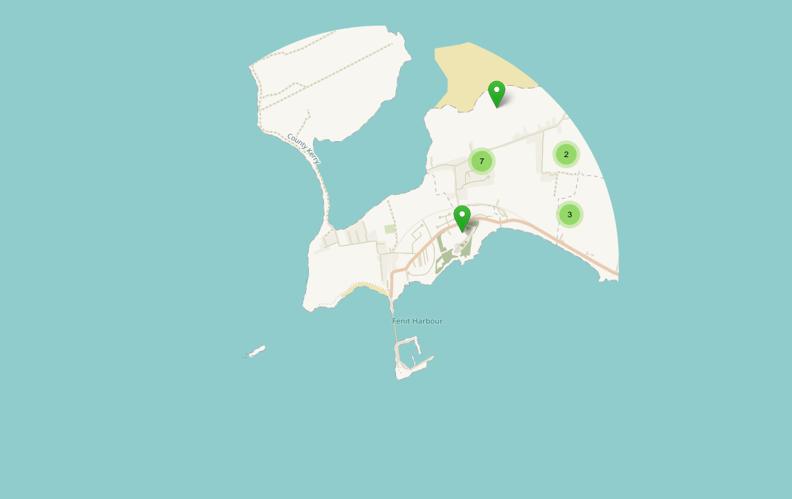
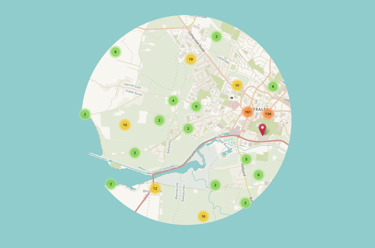
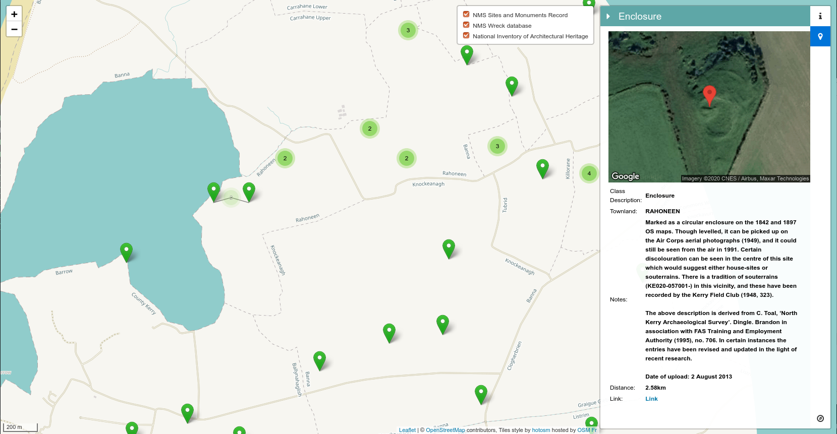
I thought it might be a good idea to take this opportunity to get to know the 2 kilometers around my home a little better so I put together a map which displays only a person’s permitted 2km limits. I designed the map to present the surrounding areas of said 2km location as though it were ocean. So hence Isolation Island and with the help of some Open Data it might help you to discover some interesting historic locations within your limits.
You can generate your own COVID-19 Isolation Island here:
The map uses the following data sources:
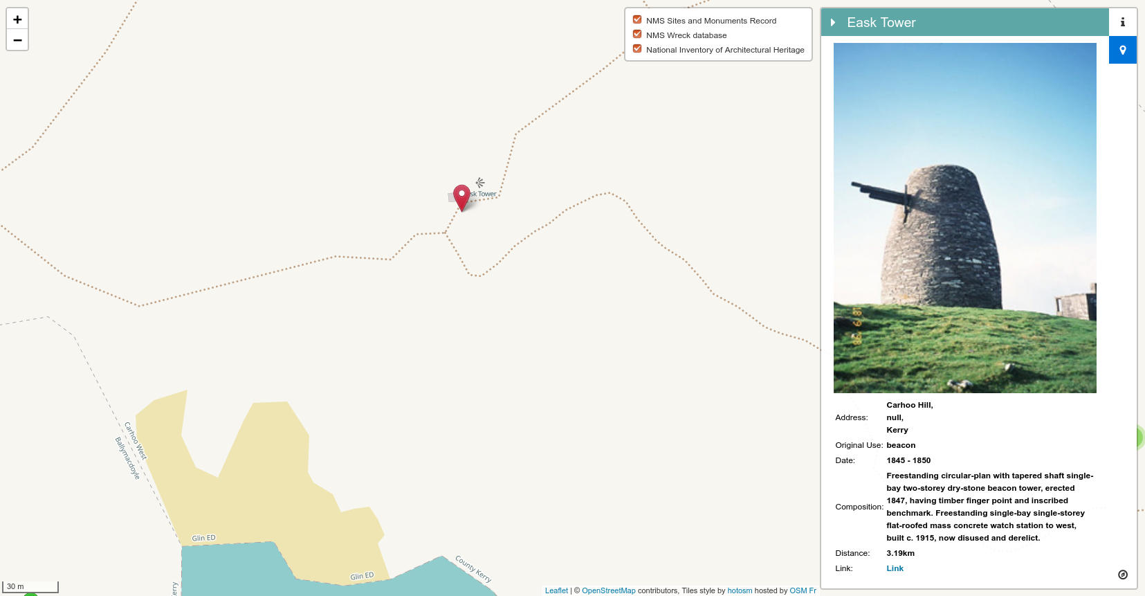
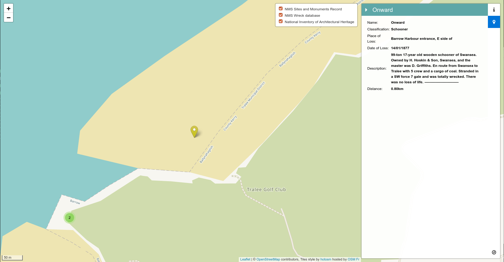
- National Inventory of Architectural Heritage (NIAH) National Dataset
- National Monuments Service – Archaeological Survey of Ireland
- National Monuments Service – Wreck Viewer
All of which are published by the Department of Culture, Heritage and the Gaeltacht
Some sample sites:
Update 3rd May 2020
Expanded limits to 5km